Build with
the ground
in mind.
One precise workbench for the terrain, roads, earthworks and drawings that shape the world around us. Civzu is taking form. Be among the first to know when it is ready.
to final sheet.26° 12′ 08″ S
28° 02′ 22″ E
Engineering happens between disciplines. Your software should meet you there.
SURVEY → TERRAIN → DESIGN → ISSUEThe work, in one place.
Civzu brings related civil engineering workflows into a single desktop environment. These areas are implemented in code; production qualification is still underway.
Survey & terrain
Import and review points, build surfaces, inspect contours and follow source changes.
02 / SHAPE THE ROUTE ↗Roads & profiles
Develop alignments, profiles and corridor geometry with reviewable results.
03 / BALANCE THE SITE ↗Grading & drainage
Explore earthworks, pipe networks and design checks in context.
04 / COMMUNICATE THE DESIGN ↗Drawings & exchange
Prepare sheets and supported data exchanges for professional review.
Detail is the difference.
Development captures use illustrative projects. They show the workbench direction, not a qualified customer release.
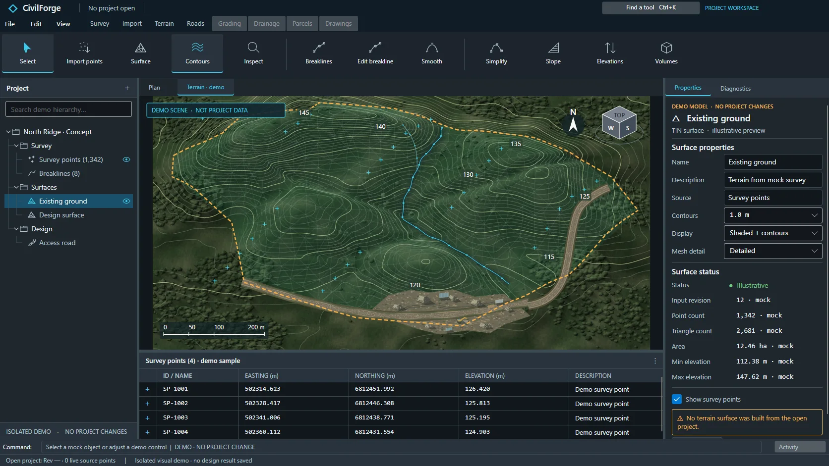
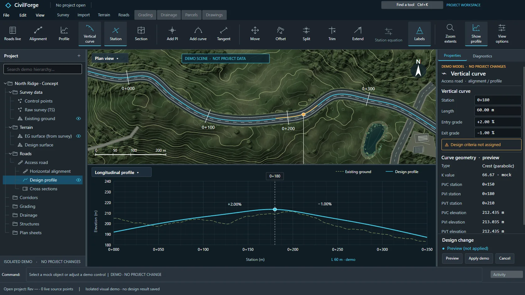
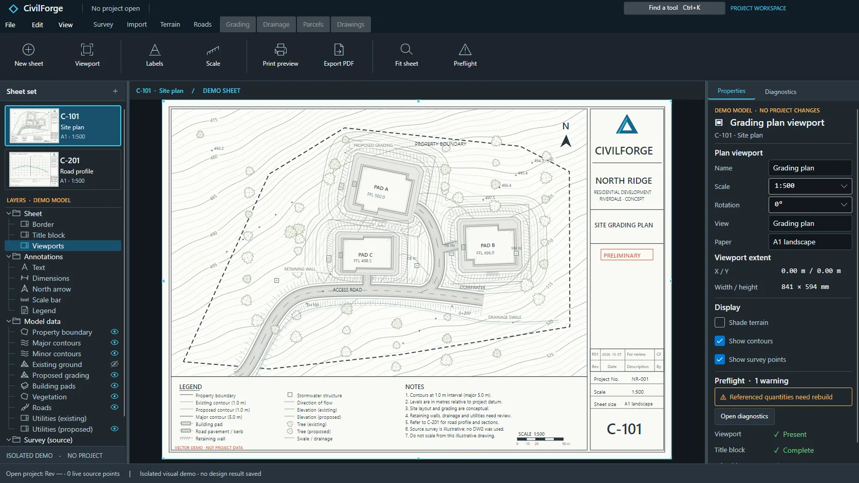
Clarity in every
contour.
Engineering results need their context: source data, units, revisions and warnings. Civzu is being built to make that context visible while keeping the designer responsible for decisions.
Know which inputs and revisions informed a result.
Preview and review changes before applying them.
Desktop project workflows designed around local files.
The future is
under construction.
Join the list for launch updates. No payment or download today.
Join the waitlist