
Alignments from lines
Create alignments with lines and circular curves from polylines or feature lines.
Design alignments, profiles and corridors that stay linked to the live terrain. Templates, target rules, transitions, superelevation, sample lines and road markings carry through to sections, quantities and reports.
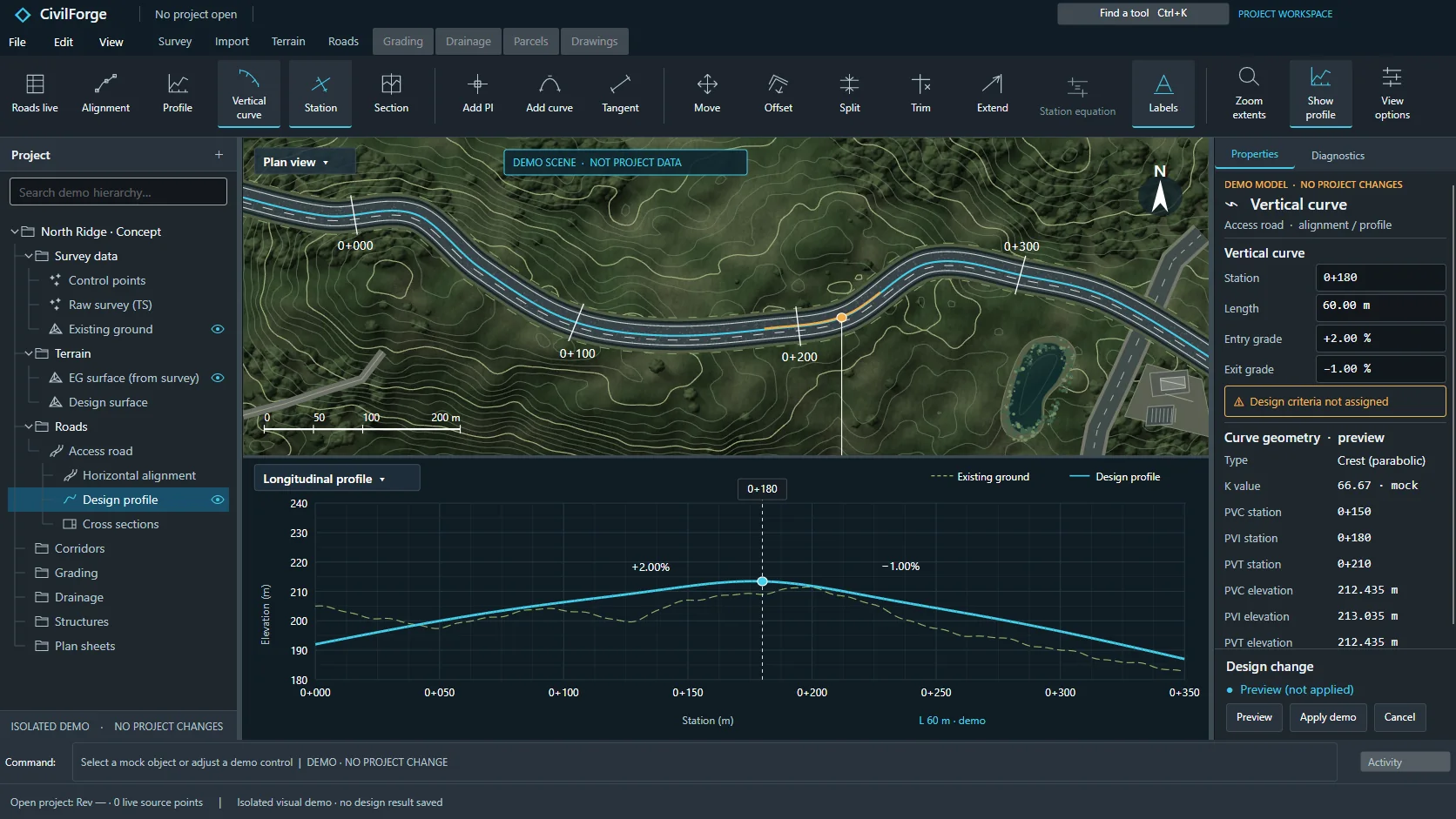 APP CAPTURE · ILLUSTRATIVE PROJECT
Your engineers work in the desktop workbench; your agent reaches the same project through typed local tools. Items tagged In development are being built now.
Create alignments with lines and circular curves from polylines or feature lines.
Create several roads, alignments and profiles at once from open feature lines.
Join alignments while keeping their profiles.
Create offset alignments and variable widenings on site-grid projects.
Alignment stationing with station equations.
Compare two alignments made of lines and arcs.
Sample existing-ground profiles from surfaces, survey points and feature lines.
Create and edit design profiles with vertical curves.
Create profiles from survey points along line and arc alignments.
Create and update pipe profiles along drainage runs.
Offset, reverse and translate copies of profiles.
Interpolate profile points and prune them to a tolerance.
Calculate vertical-curve geometry from your design inputs.
Profiles with tangency gaps or discontinuities are refused at construction.
Drive design profiles from linked control points.
Project objects perpendicularly onto profiles along line and arc hosts.
Use crossing profiles as level constraints on a design profile.
Create section sample lines from points on line and arc alignments.
Turn typed section offsets and levels into spatial geometry.
Set the station and level ranges shown in profile and section views.
Label features in profile views.
Report profile length, rise, fall, extremes and curve data.
Edit parametric cross-section templates for road corridors.
Typical sections with lanes, a kerb, verge and footway on each side.
Pavement and subgrade layers in road cross-sections.
Corridors built along more than one baseline.
Corridor regions with explicit chainage ranges.
Split, merge, move boundaries of and copy settings between corridor regions.
Inspect assembly and component properties in a saved recipe report.
Create corridors in a batch together with new roads.
Corridor targets assigned by geometry and properties.
Reassign and clear corridor targets under control.
Add corridor sampling stations at intervals and at events.
Corridor transitions in width and level.
Define crossfall and superelevation for corridor lanes.
Local corridor overrides that record who changed what.
Extract feature lines from corridors when they are built.
Generate a faceted corridor surface and footprint boundary.
Faceted corridor solids by code for quantities and 3D review.
Design-data tables and reports from corridors.
Track template versions and review the change list before updating corridors.
Corridors rebuild and report the region that cannot be built.
Preview straight road-network candidates recognised from linework.
Assign cross-section templates to roads by ordered rules.
Turn a recognised straight road candidate into an editable road draft.
Fit up to six candidate profiles to existing ground within your grade and K rules.
Balance a road's cut and fill by moving profile levels within fixed bounds.
Compare 2 to 16 saved road corridors and junction layouts side by side.
Centre-line and edge markings generated from two-way road corridor geometry.
Pavement and corridor material quantities.
Kerb lengths split into radius categories.
“Draft a corridor along the preferred alignment with a 7.4 m carriageway, kerbs and footways both sides.”
“Fit three profile candidates to the existing ground and compare their earthworks.”
“Check the design speed and stopping sight distance along the crest at chainage 0+420.”
Reserve your early-access seat. We confirm your MCP client, seat count and commercial details before access opens.
Reserve your seat ↗